NDVI Mapping: Unlocking Precision Agriculture with DroneMap Market
Agriculture is undergoing a technological revolution. Farmers, agronomists, and agricultural organizations are increasingly relying on data-driven insights to improve productivity, reduce resource waste, and monitor crop health more effectively. Among the most powerful technologies enabling this transformation is NDVI mapping using drones.
NDVI mapping allows professionals to analyze vegetation health with remarkable precision, helping detect crop stress, irrigation issues, and nutrient deficiencies long before they become visible to the human eye. As drone mapping technology continues to expand, the demand for high-quality NDVI datasets is growing rapidly.
But an important question is emerging in the drone mapping ecosystem:
How can organizations that need NDVI maps easily access them, and how can drone professionals monetize the NDVI datasets they collect?
This is where Drone Map Market, a platform developed by GISFY, is creating a new opportunity for both drone data sellers and drone data buyers.
Understanding NDVI Mapping
NDVI stands for Normalized Difference Vegetation Index, a remote sensing technique widely used to evaluate plant health and vegetation density. The index analyzes how plants reflect different wavelengths of light, particularly near-infrared (NIR) and visible red light, to determine the health and vigor of vegetation.
Healthy plants reflect more near-infrared light and absorb more red light due to chlorophyll activity. By measuring this difference, NDVI produces a value between -1 and +1, where higher values indicate dense, healthy vegetation while lower values suggest stressed or sparse vegetation.
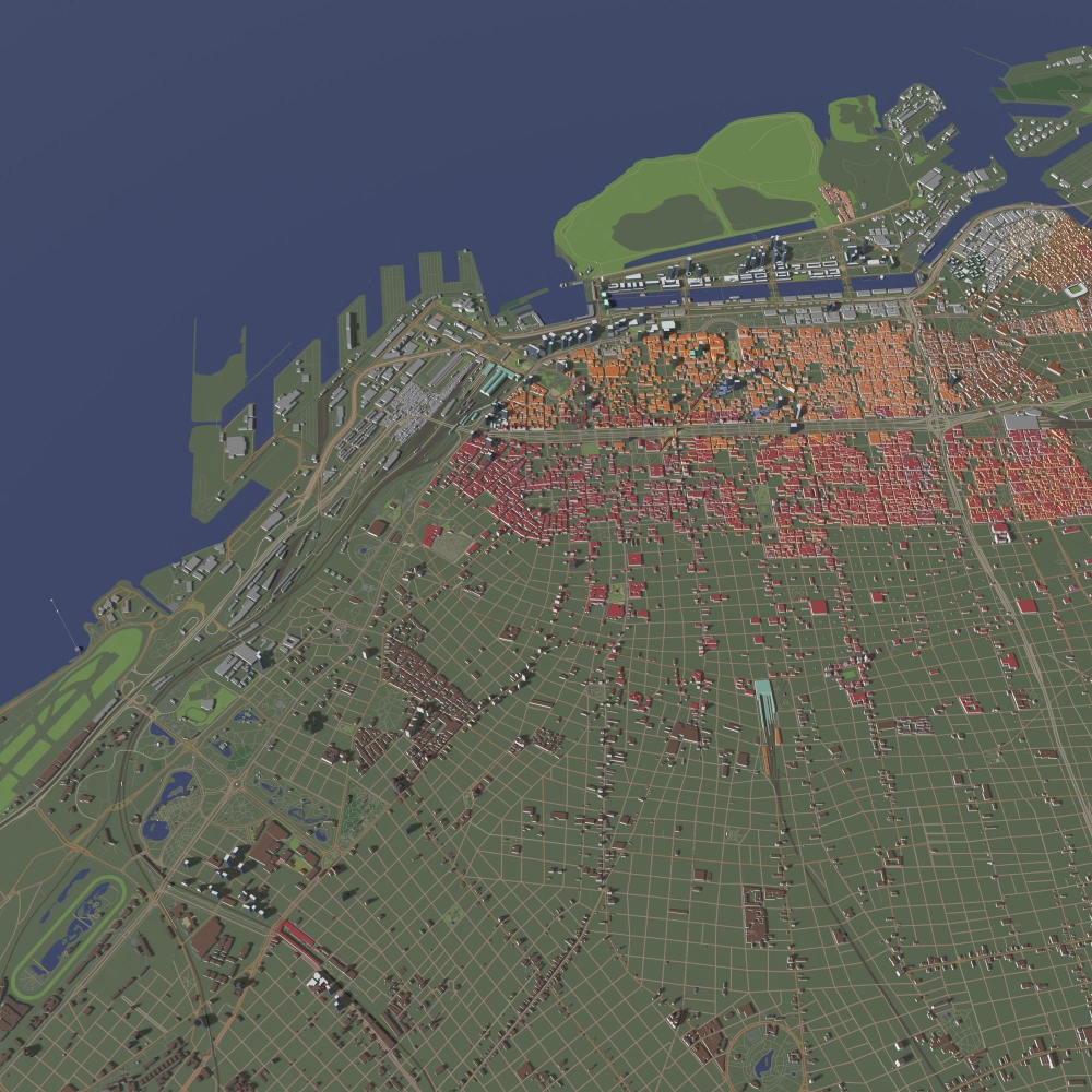
When drones equipped with multispectral cameras capture imagery, NDVI maps can be generated to visualize crop conditions across entire fields.
These maps allow professionals to quickly identify:
-
Areas with crop stress or disease
-
Irrigation issues and soil moisture variability
-
Nutrient deficiencies
-
Pest infestations
-
Growth inconsistencies across fields
Instead of relying on manual inspection, NDVI mapping provides a high-resolution aerial perspective of crop health.
Why Drone-Based NDVI Mapping Is Transforming Agriculture
While satellite imagery has historically been used for NDVI analysis, drones have significantly improved the quality and accessibility of vegetation monitoring.
Drone NDVI mapping offers several advantages:
High Spatial Resolution
Drone imagery captures NDVI data at centimeter-level detail, revealing subtle crop variations that satellite imagery often cannot detect.
Rapid Data Collection
Large agricultural fields can be mapped quickly, allowing NDVI maps to be generated almost immediately after flight missions.
On-Demand Monitoring
Farmers and agronomists can deploy drones whenever necessary during disease outbreaks, irrigation failures, or extreme weather events.
Precision Agriculture
NDVI maps enable farmers to apply fertilizers, pesticides, and irrigation only where needed, reducing costs and improving yield efficiency.
Because of these benefits, NDVI mapping is now widely used in:
-
Precision agriculture
-
Forestry management
-
Environmental monitoring
-
Land-use analysis
-
Crop yield prediction
But as drone adoption increases, another challenge has become apparent: accessing NDVI datasets efficiently.
The Hidden Problem in NDVI Data Accessibility
Drone operators around the world capture thousands of NDVI maps every year. These datasets often include:
-
Orthomosaic NDVI maps
-
Multispectral vegetation maps
-
Crop health analysis layers
-
GIS-ready geospatial datasets
However, most of these datasets remain locked within individual organizations or project archives.
Once a drone survey is completed, the NDVI map is usually delivered to a single client and then stored away. Yet the same dataset could be extremely valuable for:
-
Agricultural researchers
-
crop consultants
-
insurance companies
-
agricultural technology companies
-
environmental monitoring agencies
-
government agricultural departments
The lack of a centralized system means that valuable NDVI datasets remain underutilized.
This is the gap that DroneMap Market aims to bridge.
DroneMap Market: A Marketplace for Drone Mapping Data
DroneMap Market is a specialized digital marketplace designed to connect drone map creators with organizations that need drone-generated geospatial data.
The platform allows drone professionals to upload and sell high-resolution georeferenced maps while enabling buyers to discover and purchase maps suited to their specific requirements.
Instead of drone maps being used only once, they become discoverable digital assets available to a global audience.
This model benefits two key stakeholders.
Opportunities for Drone Data Sellers
Drone pilots, mapping companies, and geospatial professionals frequently generate NDVI maps during agricultural mapping missions.
These datasets often include:
-
multispectral NDVI imagery
-
crop health classification maps
-
vegetation density analysis
-
field variability insights
With DroneMap Market, drone data sellers can:
-
Upload NDVI maps to the platform
-
Set pricing and manage listings
-
Showcase their mapping expertise globally
-
Connect directly with organizations looking for NDVI datasets
By listing NDVI maps on DroneMap Market, drone professionals can generate additional revenue from datasets that would otherwise remain unused.
Benefits for Drone Data Buyers
Organizations that rely on NDVI data often require high-quality datasets for research, analysis, or operational planning.
Through DroneMap Market, buyers can:
-
Browse a diverse library of drone-captured maps
-
Connect directly with drone data creators
-
Purchase NDVI datasets for analysis and decision-making
The platform supports a wide range of applications, including agriculture monitoring, environmental analysis, disaster mapping, and land-use planning.
For agricultural organizations in particular, access to NDVI maps can significantly accelerate crop analysis and planning.
Expanding the Drone Data Economy
The drone mapping industry is rapidly evolving from a service-based model to a data-driven ecosystem.
In the past, drone operators primarily earned revenue through surveying projects. But the future of the industry lies in data marketplaces where drone-generated datasets can be reused, shared, and monetized.
Platforms like DroneMap Market are enabling this shift by creating an ecosystem where:
-
Drone professionals can monetize their mapping work
-
Organizations can access high-quality aerial datasets faster
-
Geospatial data can be reused across multiple industries
NDVI mapping is a perfect example of this transformation.
A single NDVI survey conducted for one farm may also be useful for:
-
regional crop analysis
-
agricultural research
-
insurance risk modeling
-
environmental impact assessments
By making NDVI maps accessible through a marketplace, their value extends far beyond the original project.
The Future of NDVI Mapping and Drone Data Platforms
As agriculture becomes increasingly data-driven, the demand for high-resolution vegetation monitoring will continue to grow.
Advances in drone technology, multispectral sensors, and AI-based analytics are making NDVI mapping more powerful than ever. These technologies allow farmers and researchers to detect crop stress earlier, optimize resource usage, and improve agricultural sustainability.
However, the true potential of NDVI mapping will be realized only when data can be easily discovered and shared.
This is the vision behind DroneMap Market.
By connecting drone data sellers with drone data buyers, the platform is helping build a global ecosystem where valuable geospatial datasets like NDVI maps can be accessed, traded, and utilized across industries.
Joining the DroneMap Market Ecosystem
For drone professionals involved in:
-
agricultural mapping
-
multispectral drone surveys
-
photogrammetry
-
GIS and remote sensing
DroneMap Market provides an opportunity to showcase and monetize NDVI datasets to a global audience.
For organizations seeking reliable drone mapping data, the platform offers a convenient way to discover high-quality NDVI maps without commissioning new surveys every time.
As the demand for precision agriculture and geospatial intelligence continues to rise, NDVI mapping will play an increasingly important role in shaping the future of agriculture.
And platforms like DroneMap Market are creating a marketplace where this valuable drone data can truly unlock its full potential.
